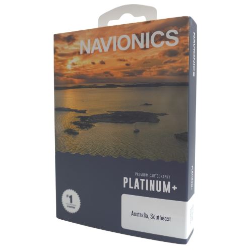
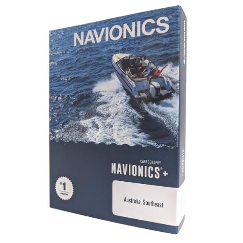
Navionics Platinum+
$349.00 – $499.00
Whether you’re adventuring on the high seas, cruising in home waters, fishing your new favourite spot or piloting a commercial workboat, your chartplotter deserves the best, most up-to-date cartography and navigation data available. Now with Garmin and Navionics integrated, map coverage areas are now aligned across standard and premium cartography for all Navionics branded products.
Navionics Platinum+ is designed with the most demanding boaters and serious anglers in mind, including all the marine content of Navionics+ but is enhanced with additional viewing options that take your boating experience to the next level.
Satellite imagery with sonarchart shading overlay, created from SonarChart 0.5 metre contour data, varying shades of blue reveal changes in depth such as channels and drop-offs. This improves situational awareness and give clear, visual clues to fish-holding structure.
Aerial and panoramic photography of various ports, marinas, bridges, docks, boat ramps, dams and navigational landmarks offers superior awareness of unkown areas.
Included subscrition for the Navionics relief shading feature brings bottom detail to life, from shallow flats to deep offshore canyons, in a vivid, colourful representation that helps boaters gain a better understanding of bottom topography. This is a downloadable option via Navionics website, plesae visit for more information.
Includes a one-year, renewable subscription to daily updates and advanced features with our plotter cards and mobile apps.
Navionics Platinum+ variations
| Image | Attributes | SKU | Price | Stock | Buy |
|---|---|---|---|---|---|
| PCN-SD/P/SE | $349.00 | Only 1 left in stock | ||
| PCN-SD/P/NE | $349.00 | Only 1 left in stock | ||
| PCN-SD/P/W | $349.00 | Only 1 left in stock | ||
| PCN-SD/P/EA | $499.00 | Only 2 left in stock |

