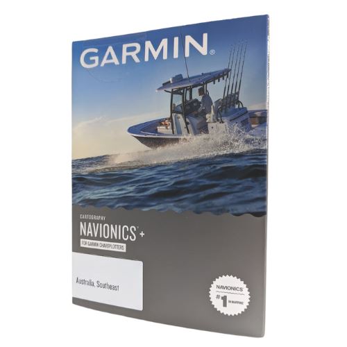
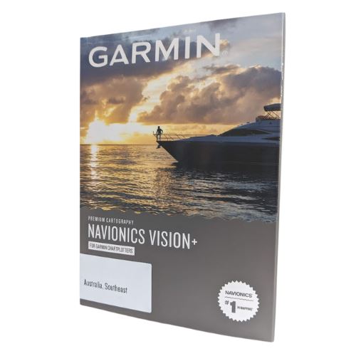
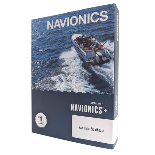
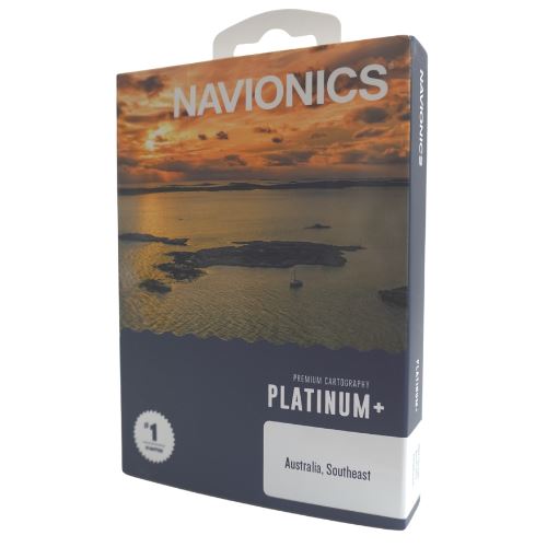
Garmin Navionics+
$189.00 – $349.00
Introducing the next generation of cartography for Garmin marine devices. Integrated Garmin and Navionics content provides detail-rich content for coastal and in land waters with exceptional coverage, clarity and detail with an updated color palette and Navionics style appearance.
Essential cartographic reference detail for cruising, sailing and fishing: port plans, safety depth contours, marine services and navigation aids for offshore or inland waters.
Featuring SonarChart HD Bathymetry for improved fishing and navigation, SonarChart HD bathymetry maps display up to 1′ contours for a more detailed depiction of bottom structure.
This all-in-one solution offers advanced features such as shaded depth contours, Auto Guidance technology, and access to daily updates via the ActiveCaptain app for the freshest chart data every time out.
Includes a one-year subscription with easy access to daily chart up dates is available via the ActiveCaptain smart-device app.
*** For compatible Garmin units only ***
Garmin Navionics+ variations
| Image | Attributes | SKU | Price | Stock | Buy |
|---|---|---|---|---|---|
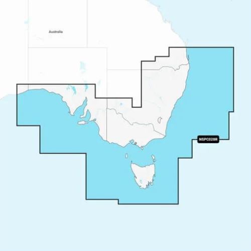
| GPS-GMAP/N/SE | $189.00 | Out of stock | ||
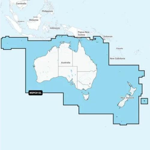
| GPS-GMAP/N/ANZ | $349.00 | Out of stock |

